Explosive Bomb Cyclone Targets East Coast Sunday
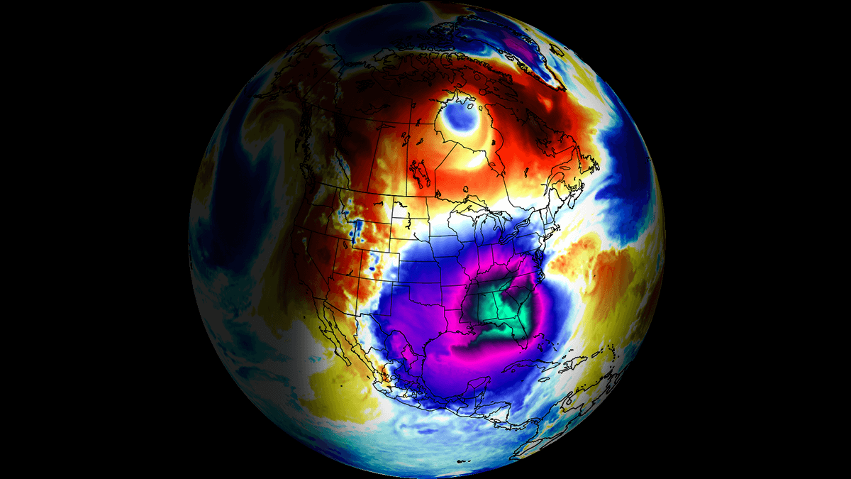
An explosive cyclogenesis event, characterized by a rapidly deepening cyclone, is forecast to impact the East Coast on Sunday. This Nor’Easter will develop off the U.S. Southeast coast and is expected to bring severe winter weather conditions, including blizzard conditions and high winds.
What we know
- The cyclone’s central pressure is predicted to drop more than 24 millibars within 24 hours, qualifying it as a bomb cyclone.
- Severe winds exceeding 65 mph, blizzard conditions, and coastal flooding may occur from the Outer Banks to interior New England and coastal Maine.
- Forecasts indicate record-breaking low temperatures in Florida, with freezing temperatures predicted as far south as Miami.
- Many areas in the Midwest and Northeast could experience single-digit temperatures, with potential for negative degrees in parts of Indiana and Michigan.
- This winter storm is driven by a significant disruption of the Polar Vortex, leading to widespread cold Arctic air intrusions across the Southeast U.S.
What’s still unclear
Details on the exact path of the storm and its specific impact on various East Coast areas remain uncertain.
What this means
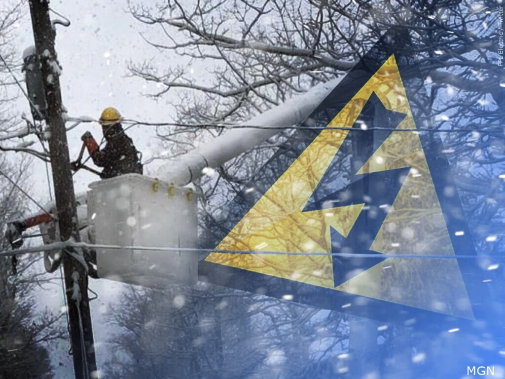
Severe winter weather could lead to significant travel disruptions, as heavy snowfall and intense winds affect visibility and road conditions. Additionally, widespread power outages may occur due to severe wind impacts and snow accumulation.
What to watch next
As the situation develops, updates on the storm’s progression and local advisories will be crucial for residents across the impacted regions.
Original source: Open the source
Editorial note: Cozy Corner Daily summarizes news based on available reporting and updates stories as new details emerge.
Read our editorial guidelines.


.jpg)


