Winter Storm Warning Issued for NYC and Tri-State Area
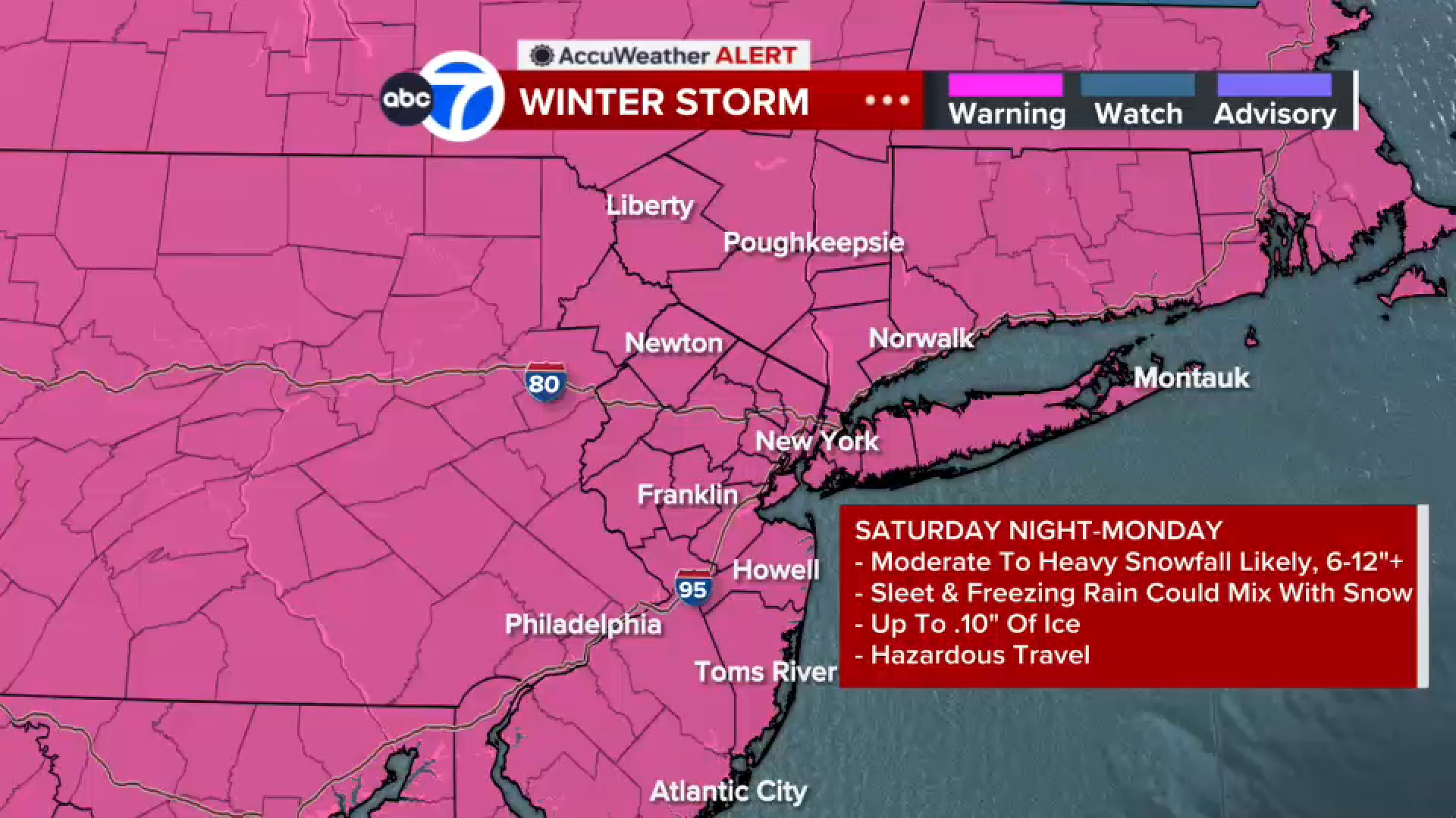
A Winter Storm Warning has been issued for New York City and the Tri-State area as a powerful winter storm is expected to bring heavy snow and dangerous ice beginning Sunday morning and continuing into early Monday.
What We Know
- The storm is projected to deliver snow accumulations of up to 18 inches in areas north and west of New York City, particularly in northwestern New Jersey, the Hudson Valley, and eastern Pennsylvania.
- In and around the city, including Long Island and much of New Jersey, anticipated snow totals range from 8 to 12 inches.
- A Cold Weather Advisory is in effect, indicating frigid temperatures will persist even after the snow event.
- Southeastern Monmouth County, most of Ocean County, and the south shore of Long Island may experience a mix of sleet early on, leading to lower snow totals in those areas.
- The heaviest snowfall is expected around midday Sunday, with sleet and freezing rain possibly mixing in during the afternoon.
What’s Still Unclear
Details on the specific timing and intensity of the storm’s impacts, particularly in relation to sleet and freezing rain, are limited in the current reporting.
What This Means
Residents in the affected areas are advised to prepare for difficult travel conditions and potential power outages due to the ice. With the anticipation of one of the biggest winter storms in years, many are already stocking up on essential supplies.
What to Watch Next
Updates on snowfall totals, changes to weather advisories, and ongoing preparations by government agencies will be critical to monitor as the storm progresses.
Original source: Open the source
Editorial note: Cozy Corner Daily summarizes news based on available reporting and updates stories as new details emerge.
Read our editorial guidelines.


